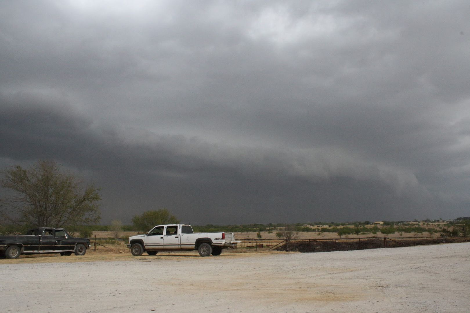
Here in Bowie we caught the Southern edge of the MCS moving through Oklahoma. We got a little rain (a whole 0.15''!) but the storm structure was impressive!
Shelf cloud. Taken about 1 mile NW of Bowie.

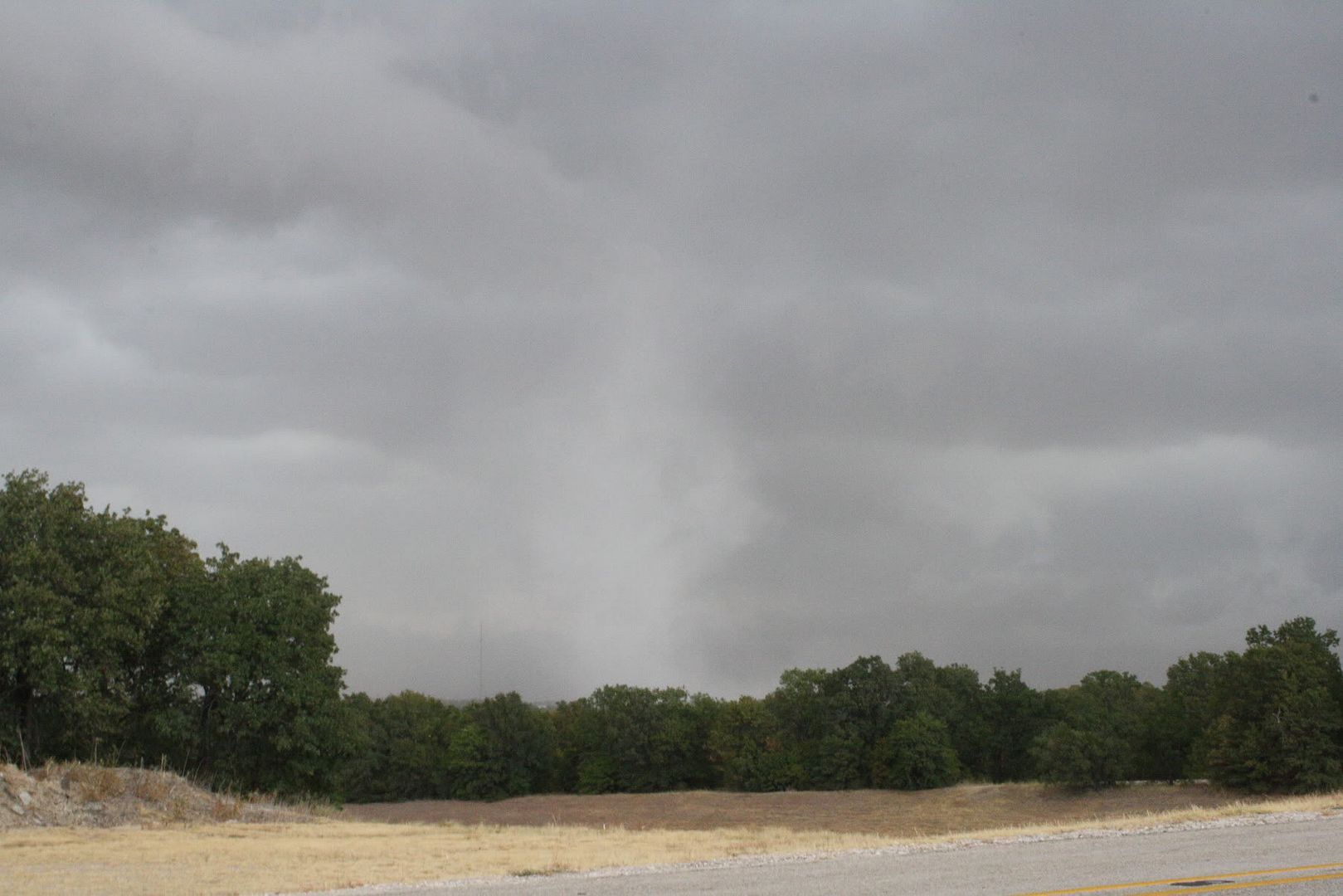
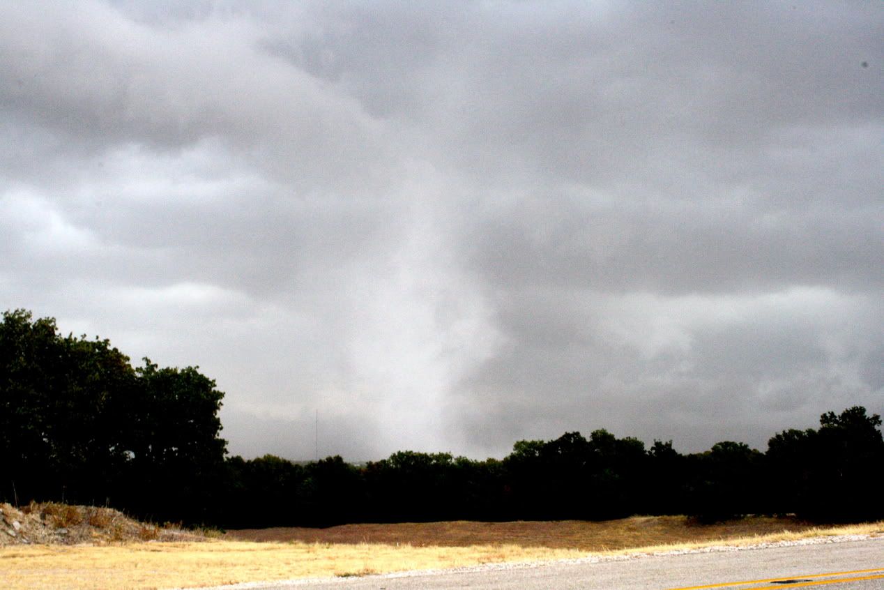
But the real treat of the storm happened about 15 minutes after I took the above picture. There was a strong gust front just ahead of the leading edge of the storms producing winds 50-60mph. I just got lucky enough to be looking in the right spot when a "gustnado" or "spin-up" formed about 3/4 of a mile from me.

Here's the same picture with the contrast turned up.

Good morning of storm chasing considering I had no internet or radar while I was out watching. Good to see its still possible for it to rain in texas but it was by far no where near enough to even begin to help the drought. We still need about 17-18" of rain to get caught back up to where we should be.