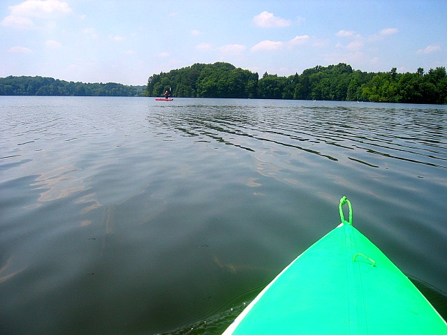
My wife and I went kayaking yesterday and found a very shallow spot in the middle of one of the biggest areas of the Mogador Reservoir. We saw swans that appeared to be floating much higher than usual. Figuring that they were standing on a submerged log, I went to investigate and found a shallow area that I have paddled right by dozens of times but never noticed. In the picture below, Joan is standing in about a foot of water.
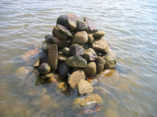
I went back to the shallow spot today in hope of making an island. I brought an anchor and gloves. Even though Joan and I visited the place yesterday and I took a picture, it took me a good ten minutes to find it. There was enough of a breeze to make the water highly reflective which made it difficult to find. The water also is murky and the reservoir bed is mostly the same mucky color as the water; I couldn't see it until I was right on top of it. Once I found the place I anchored the boat and scouted the area. The "knee-deep or less" area is perhaps 80 feet by 40 feet. A good portion of that is only about 12 inches deep with several boulder tops much closer to the surface. I waded around for at least an hour moving big rocks onto my pile-island. Three or four of the boulders were too heavy to lift but I was able to roll them through the water to the base of the mound. Most of the rocks I moved are under water, providing a base. I figure I must have moved 1,000 ~ 2,000 pounds of rocks. The biggest boulders that I had to roll must have weighed over 200 lbs each and there were many others that were difficult to carry. I paid no attention to aesthetic appearance, I just went for mass.
I couldn't help but to wonder how many props have been broken on these rocks. Mogador Reservoir is a hand powered and electric motor only lake. It's the largest non gas powered motor lake in Ohio. I'm sure I broke a few laws doing this, but I think boating in this area will be a tiny bit safer because of this island. It provides a good warning of hard to see shallow water. I think the birds may like it too.
I'm not sure how long it will last, someone may decide to level it or storms may knock it down some. If it makes it to winter I think the lake ice will give it a hard time. Wind pushing a few acres of one inch ice can produce a lot of force. Time will tell. I labeled the pictures and Google Earth Placemark "June 26th Island".
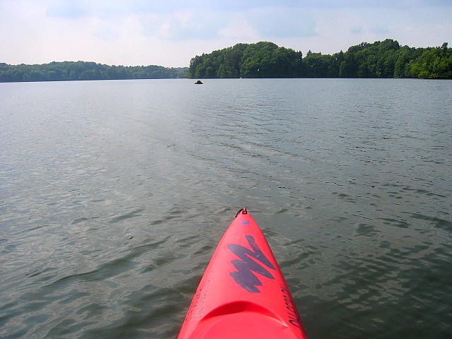
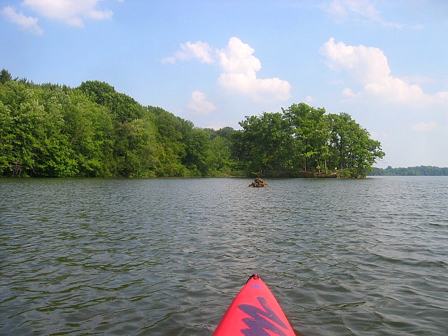
The nearest shore is about 200 feet away.
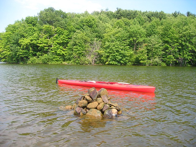
From the south
From the north
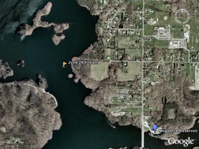
Approximate location of June 26th Island in Google Earth.
Paste the following lat/long into Google Earth's search window to zoom the approximate spot and see more of Mogadore Reservoir. I hope the island lasts until the next satellite picture!
41 03 54.91 N 81 21 22.81 W


