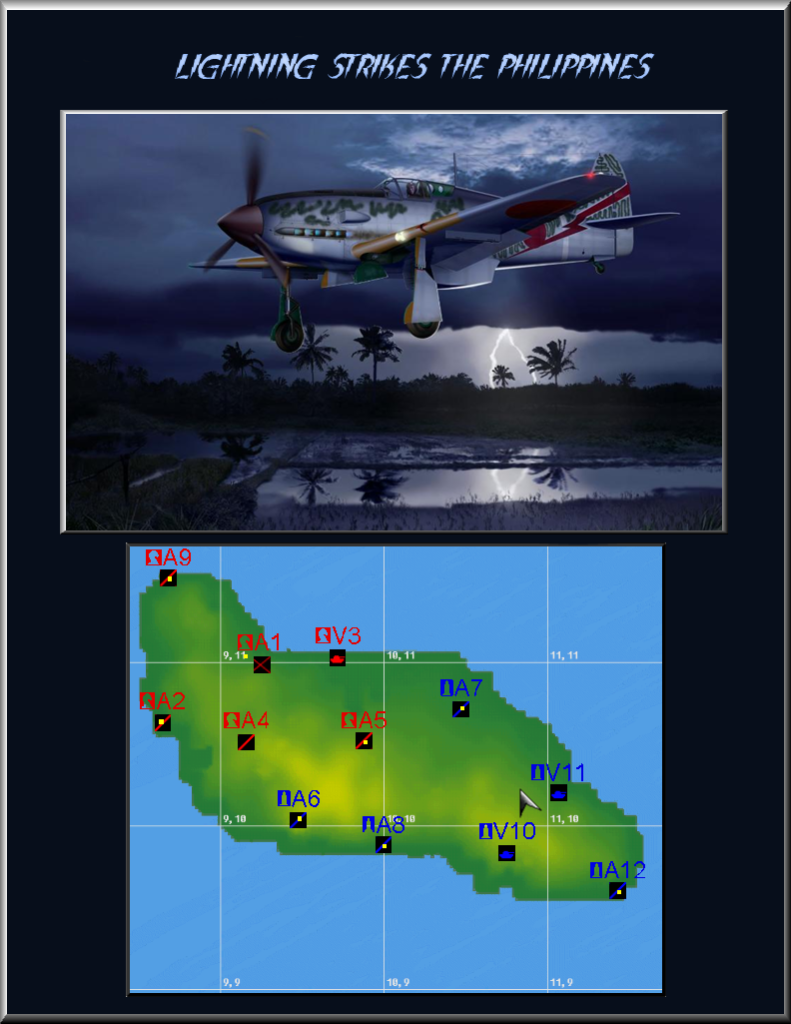
USRanger's beautiful map and the success of Shifty's Solomons setup prompt us to continue the Pacific campaign. More than a year has passed since yesterday.
“I HAVE RETURNED”
The Philippines Campaign 1944-45
AXIS (Knights)
Imperial Japanese Air Force
Ki-61 (Tony)
Ki-84 (Frank)
Ki-67 (Peggy)
C-47 (Tabby)
M-3 (sub for truck)
M-8 (sub for Type 95)
Imperial Japanese Navy
A6M5 (Zeke)(carrier only)
D3A (Val)(carrier only)
B5N (Kate)(carrier only)
G4M1 (Betty)(land-based)
PT boats
ALLIES (Bishops)
US Army
P-38L
P-47D-25
B-25H and -C (sub for -J)
A-20G
C-47
Jeep
M-3
M-8
M-16
M-4/75 Sherman
US Navy
F4U-1D
F6F-5
FM2
TBM
PT boats
SPECIAL NOTES:
Use Channel 200 for cross-country,
Channel 123 for your-side-only communications.
All unmanned ack is .25 (one-fourth MA standard).
Visibility is set at 12 miles.
Traditional AvA bombsight (must be calibrated).
Radar settings (1945) as follows:
Tower 237,600 (feet)
Sector 369,600
Fuel is 1.0 burn rate.
Ten troops required for base capture (map room setting
is .0015).
Town-down percentage is 50%.
Carriers will regenerate quickly.
Strat is disabled.
Friendly mid-airs are off.
Killshooter is on.
HISTORY:
The Philippines: Scene of repeated Allied
disasters at war's beginning. Clark Field.
Subic Bay. Corregidor. The Bataan Death
March. Now, on October 20, 1944,
having suffered through nearly three
years of cruel Japanese occupation, Filipinos
look to the skies and seas as the overwhelming,
merciless Allied forces return to set them
free. The campaign to retake the islands will
last through the end of the war. It will cost
the allies over 60,000 casualties, and will
take the lives of nearly 350,000 of the
Emperor's loyal, doomed subjects.
We have utilized USRanger's fine Guadalcanal
map as a generic representation of the area of
conflict.